
Battle Ground ZIP Coverage
Battle Ground's main postal identity is 98604, but nearby codes matter when a name, parcel, or old address points toward the edge of town. The table separates the primary Battle Ground mailing area from nearby comparison areas. It is a postal cross-check, not a list of residents. A code can cross a government boundary, and a nearby code can serve an address that people informally describe as part of greater Battle Ground.
| ZIP | Area association | Postal place | How to read it |
|---|---|---|---|
| 98604 | Battle Ground city and surrounding county mailing area | Battle Ground | Primary local code, but not proof of city limits |
| 98606 | Brush Prairie, Hockinson, and the south or east greater area | Brush Prairie | May be near the urban-growth area without being in the city |
| 98629 | La Center area | La Center | Nearby county comparison |
| 98642 | Ridgefield area | Ridgefield | Nearby county comparison |
| 98682 | Vancouver and Orchards | Vancouver | South and east comparison where a postal label may confuse |
| 98675 | Yacolt and East Fork area | Yacolt | Nearby, not Battle Ground proper |
The Battle Ground Post Office is at 418 West Main Street. That facility anchors the 98604 service area, but it does not turn every delivered address into a city parcel. Research found no official PO-box-only or unique ZIP assigned to Battle Ground, and no complete carrier-route polygon. When exact geography matters, keep the postal code and municipal result in separate fields.
Search Battle Ground Postal Records
The USPS ZIP Code Lookup offers three useful routes. Search a full address when the street is known, search by city and state when only a place label is available, or enter a ZIP to see its recognized city names. USPS confirms mailing information and deliverability. It does not confirm a named occupant or a municipal boundary.
| USPS mode | Fields | Best use |
|---|---|---|
| By address | Company optional; street; apartment or suite; city; state; ZIP optional | Normalize one deliverable address |
| By city and state | City and state | Find codes tied to a postal place |
| Cities by ZIP | ZIP required | Check acceptable postal-city labels |
A standardized result is the start of a Battle Ground ZIP code directory search. Copy its spelling, directional, unit number, and code. Then test the property in county GIS. This two-source approach avoids treating a mailing convention as a statement about residency.
Battle Ground and 98606
The key local mismatch is 98606. It is associated with Brush Prairie and Hockinson, yet it can appear in the broader south and east Battle Ground area. Some parcels may be close to the urban-growth boundary while remaining outside the incorporated city. The postal city, parcel situs, and legal jurisdiction should therefore remain distinct.
Open Clark County MapsOnline, locate the parcel, and turn on the city, ZIP, neighborhood, taxlot, precinct, school, and utility layers that answer the question at hand. A school or utility district may overlap the city line. So may a neighborhood association. None of those layers alone changes the USPS label.
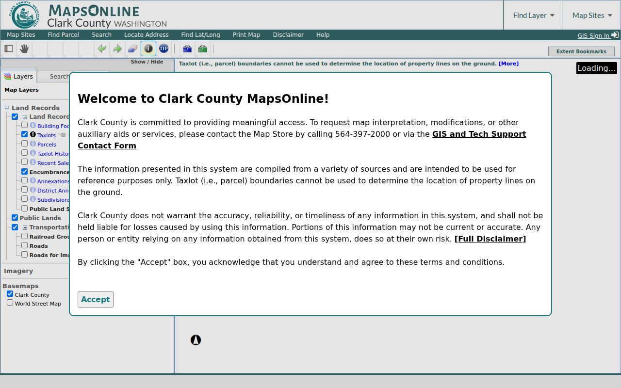
The captured map interface supplies the parcel and layer controls needed to test a postal result against county geography. Preserve the selected layer and retrieval date with the result.
Postal-city trap. Describe 98606 as mailing geography until the county city-boundary layer confirms that the parcel is inside Battle Ground.
Find Battle Ground Residents by ZIP
No official portal in the research acts as a ZIP-wide roster of Battle Ground residents. ZIP is instead a filter or a cross-check. USPS normalizes an address, the parcel tools establish land and boundary facts, and a properly requested voter extract may contain public address and political-jurisdiction fields. Each source has its own access rules.
- Confirm the deliverable street, unit, city, state, and code with USPS.
- Search the street address or tax account in the Clark County Property Information Center. Partial addresses are accepted.
- Use MapsOnline to inspect the ZIP, city, neighborhood, and precinct layers around that taxlot.
- If voter data is lawfully needed, define the precinct or political jurisdiction and request only public fields from the Secretary of State.
- Date each result and verify a named person through a second official record.
VoteWA serves a voter's own registration and election tasks; it is not a public person directory. Clark County Elections directs full-data requests to the Washington Secretary of State. Public fields can include name, address, political jurisdiction, gender, year of birth, voting record, registration date, and registration number, but protected data and original forms are withheld. Once the postal area narrows to an actual road, the Battle Ground street directory explains the street-level method.
Battle Ground ZIP Parcel Check
PIC is address-oriented on the public web. Owner-name searching is available on Clark County Joint Lobby self-service computers, not through the ordinary public form. MapsOnline supplies the geographic layers and lets a user identify adjacent taxlots. The property report supplies dated assessment-system labels, including situs and mailing addresses, which can differ.
| Field or control | Input | What it contributes |
|---|---|---|
| Street Address | Full or partial text | Finds a current parcel by situs |
| Tax Account or PAN | Account number | Targets a known taxlot |
| Find Parcel | Map control | Zooms to the matched property |
| Layers | Map/report tab | Shows ZIP, city, neighborhood, precinct, taxlot, and other themes |
| Info or Identify | Map click | Opens parcel facts and nearby taxlots |
Record the account, situs, postal ZIP, administrative jurisdiction, and retrieval date. The assessor's owner and mailing labels do not prove that the listed party occupies the property. A deed or voter entry also reports a particular legal role, not a complete household.
Historical Battle Ground ZIP Clues
Modern codes do not fit every historical source. Battle Ground's railroad connection in 1902 and first town plat in 1903 make East Main, the rail corridor, and the Old Town grid useful anchors. An early directory may use a rural route, post-office name, former spelling, or landmark rather than a current ZIP code. The city incorporated in 1951, so an older Battle Ground label may describe a county locality instead of a legal city.
Search the Clark County directory years held by the Washington State Library, then compare the printed street or post-office label with plats, deeds, and historical aerials. The known county volumes are 1918–19, 1921, 1928–29, 1931, and 1934, but they are not a complete Battle Ground-only run. The local ZIP code directory must not be projected backward onto those entries.
Battle Ground Carrier Route Gaps
No official complete carrier-route polygon or full street-renumbering list was located in the project research. That absence matters. A current map cannot resolve every old route or house number, and the lack of a modern match does not prove that an address never existed.
For a disputed address, ask the city or county addressing custodian, compare the first-town plat and historical aerials, and preserve the date of each source. The Washington Public Records Act gives an agency five business days to produce records or a link, acknowledge the request with an estimate, seek clarification, or deny it with an exemption. Inspection is generally free, while copy charges may apply. State-library public access also changed in 2025, so confirm its current service mode before planning an in-person directory search.
Battle Ground ZIPs Versus City Limits
A Battle Ground mailing address can carry four separate geographies: postal city, incorporated-city status, county tax parcel, and neighborhood-association area. Add precinct, school, fire, and utility districts only when the question calls for them. Census ZIP Code Tabulation Areas are statistical approximations, not USPS delivery codes. The safest record keeps each field apart and cites the map or custodian used.
- ZIP and ZIP+4
- A ZIP sorts a delivery area. The four added digits narrow mail to a smaller segment, building, or group of boxes.
- PO-box ZIP
- A code assigned mainly or only to post-office boxes. No Battle Ground example was confirmed in the research.
- Unique ZIP
- A code reserved for one high-volume organization. No local unique code was confirmed.
- Carrier route
- The path used to deliver mail. Its shape need not match a city, neighborhood, or voting boundary.
Use this distinction when reading 98604 and 98606. The ZIP code directory can narrow the search area, but the parcel report and GIS city layer decide whether an address falls within Battle Ground's current boundary. Stop if an Address Confidentiality Program substitute address appears. Washington law protects the true location, and it must not be reconstructed through other records.